

Understanding Maps and Globes: Essential Skills for Young Geographers
Maps and globes are essential tools for understanding geography and spatial relationships. They help students locate places, navigate unfamiliar areas, and appreciate the world's diverse features. In this blog, we’ll explore effective strategies for teaching map and globe skills, including starting with the basics, creating interactive classroom projects, utilizing real-life examples, and incorporating technology. By making learning fun and engaging, you can inspire a lifelong appreciation for geography in your students.
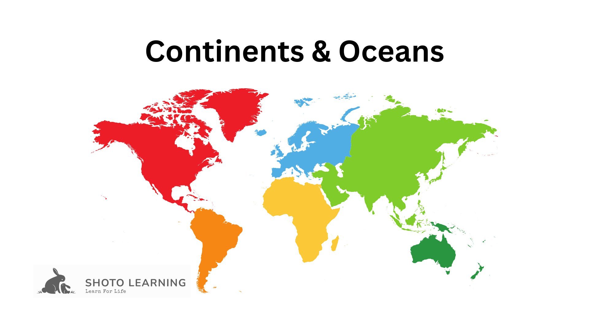
Continents & Oceans: A Fun Guide to Teaching Geography
Teaching continents and oceans is essential for fostering geographical literacy among students. Understanding the world's seven continents—Asia, Africa, North America, South America, Antarctica, Europe, and Australia—and the five major oceans—the Pacific, Atlantic, Indian, Southern, and Arctic—is crucial for appreciating global diversity. This guide explores effective strategies for teaching these concepts in an engaging way, including using interactive maps, fun games, and real-life examples. Discover how to create a multisensory learning experience that captivates students and enhances their understanding of the unique characteristics and cultures of each continent and ocean.